Understanding the Etowah River Watershed
From the Local Watersheds to Major River Basins
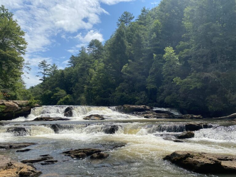
From the Local Watersheds to Major River Basins
The Upper Etowah River watershed covers 610 square miles of north Georgia headwaters. It is home to one of the world’s richest and most threatened river systems.
Its waters feed the entire Etowah River Basin, then the Coosa-Tallapoosa Basin, and finally the 44,000-square-mile Mobile River Basin on their way to the Gulf. Because what happens on the land shapes the water below, our choices here ripple downstream across the Southeast.
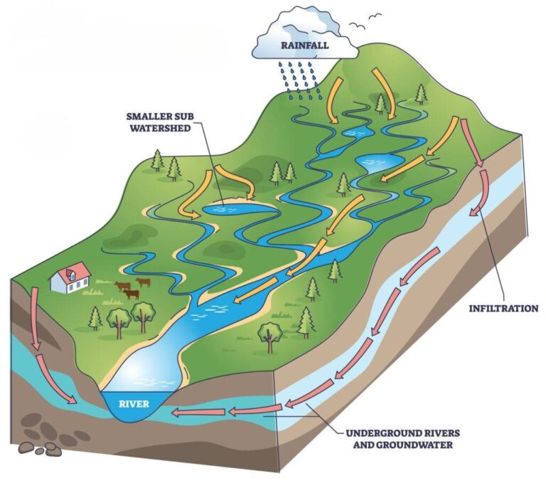
Imagine a bowl. A river runs along the bottom. The sides of the bowl are the ridges and hills where rain and melting snow drain down through smaller streams to feed the main river. In other words, a watershed is all the land that drains to a common outlet.
As a result, everything that happens within that bowl affects the water below: every landscape change, every rainfall and every human activity. Since water flows downhill, we all live in a watershed. Our collective actions shape the future of our shared water.
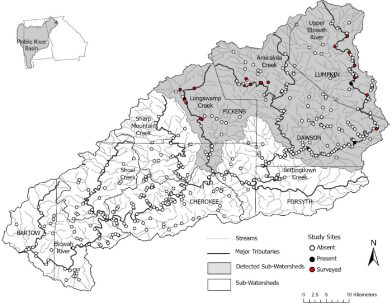
The Upper Etowah River watershed sits in north Georgia, just above Atlanta, and covers 610 square miles (390,400 acres). It spans parts of five counties: Lumpkin, Pickens, Dawson, Forsyth, and Cherokee.
More than 100 tributaries feed it, including Shoal, Amicalola, Yellow, Setting Down, Long Swamp, and Sharp Mountain creeks. The river begins its 98-mile journey in the mountains near Dahlonega and then flows south to Lake Allatoona.
Ecologically, the upper watershed anchors the region’s biodiversity, including the endangered Etowah darter. However, it faces growing pressure from rapid suburban development, storm-water runoff, and rising water demand.
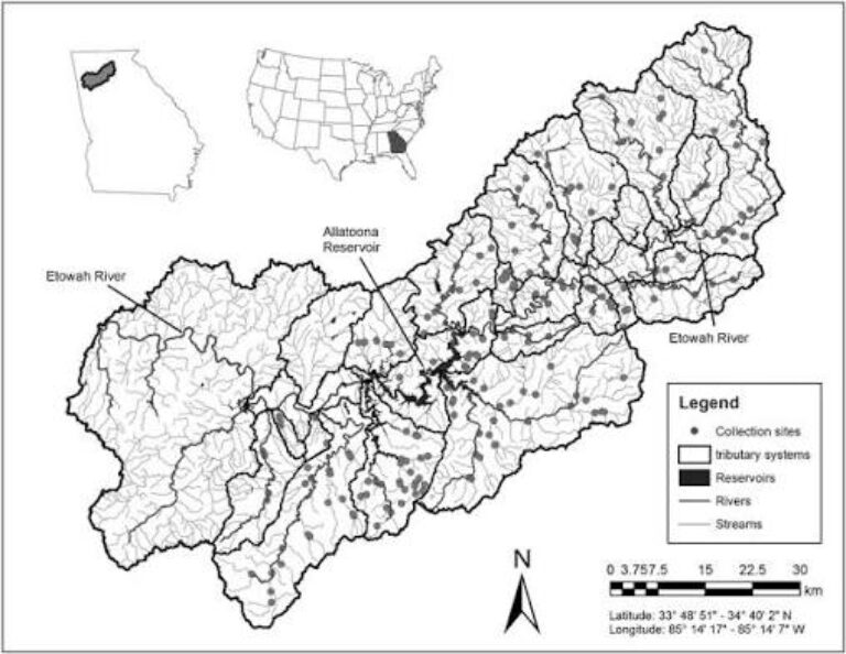
The Upper Etowah is only a fraction of the broader Etowah River Basin. The full basin drains about 1,858 square miles along roughly 165 miles of river.
The Etowah is also an extraordinary biological treasure. Historically, it was home to 91 native fish species, making it one of the richest river systems of its size in the world. Unfortunately, it is also one of the most imperiled. Habitat fragmentation, sedimentation, and other human changes have already caused the loss of 15 native fish species.
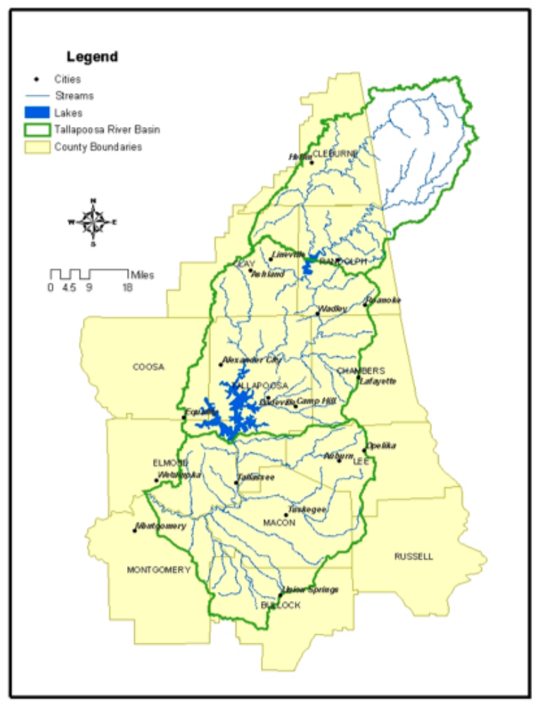
On a regional scale, the Etowah River is a building block of the greater Coosa-Tallapoosa River Basin, part of the Alabama-Coosa-Tallapoosa (ACT) system.
In Rome, Georgia, the Etowah meets the Oostanaula River to form the Coosa River. The Coosa then runs about 280 miles through a basin of roughly 10,100 square miles in Georgia and Alabama. Near Wetumpka, Alabama, it joins the Tallapoosa River to form the Alabama River.
Together, this system supports rich aquatic life, major hydroelectric reservoirs, and vital water supplies for cities and industry across the Southeast.
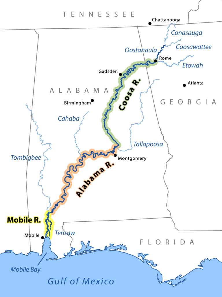
Further downstream, the Coosa-Tallapoosa Basin flows into the vast Mobile River Basin.
Covering about 44,000 square miles, the Mobile River Basin is the sixth-largest river basin in the United States. It stretches across Georgia, Tennessee, Alabama, and Mississippi. Along the way, it gathers the Tombigbee, Alabama, Coosa, and Tallapoosa rivers into Mobile Bay and the Gulf of Mexico.
In fact, it is one of the most biologically diverse freshwater ecosystems in North America. It links thousands of miles of headwater streams, like the Upper Etowah, into one great watershed.
Join our community of members who are committed to protecting the Etowah River.
Join us on the water and along the shore through hands-on volunteer opportunities that directly protect and restore our local watershed.
If you see something, say something. Let us know if you see a possible water quality problem.
Sign up to our newsletter and receive our emails, event information, and updates.