Creeks, Lakes & Reservoirs
The Etowah is only as healthy as the streams that feed it. Meet the waterways of the Upper Etowah watershed.
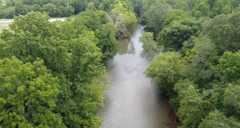
The Etowah is only as healthy as the streams that feed it. Meet the waterways of the Upper Etowah watershed.
The Etowah River rises in the mountains of Lumpkin County, northwest of Dahlonega, and flows about 98 miles to Lake Allatoona. Along the way, more than 100 creeks and streams join it, each draining its own corner of Lumpkin, Dawson, Pickens, Forsyth, and Cherokee counties.
Some of these creeks are among the last strongholds of fish found nowhere else on Earth, like the Etowah and Cherokee darters. Others supply drinking water to hundreds of thousands of people. All of them carry whatever happens on the land around them straight into the river.
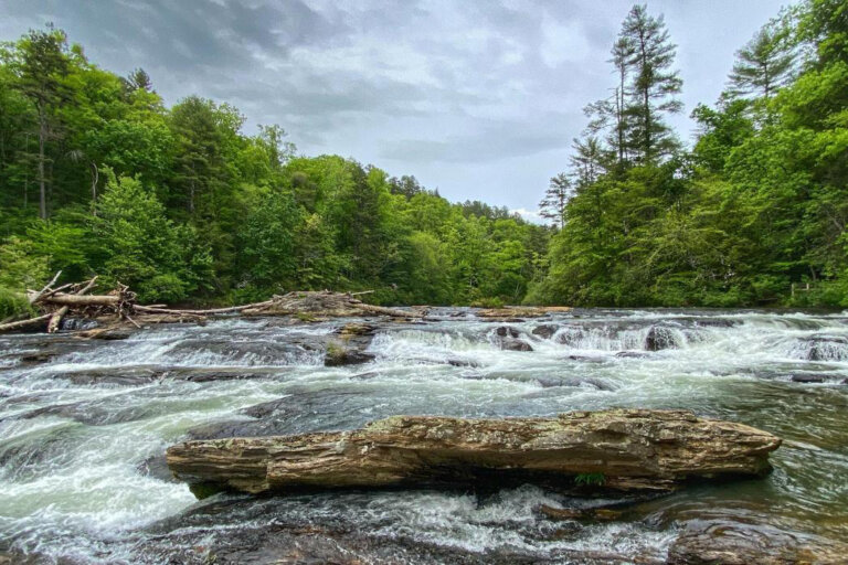
Home of Amicalola Falls and a stronghold of the endangered Etowah darter.
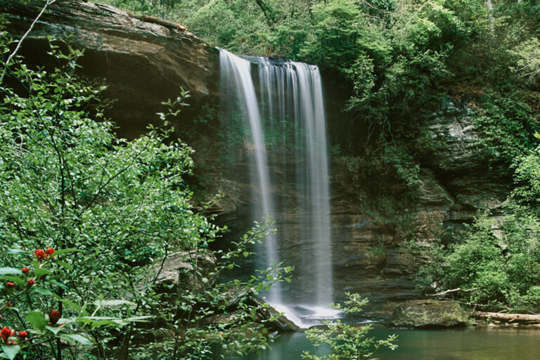
A biodiversity hotspot flowing through Dawson Forest.
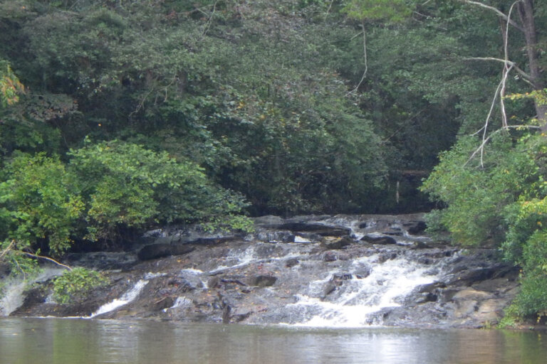
The source of Hollis Q. Lathem Reservoir.
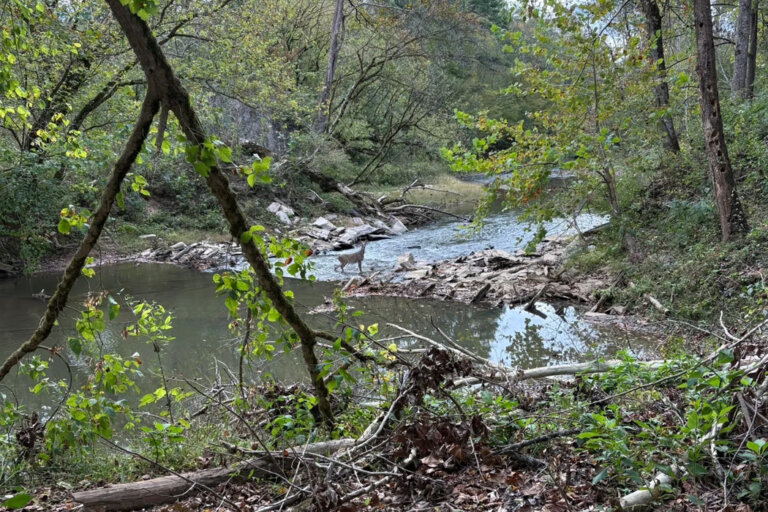
Rare darters, marble history, and a new county river park.
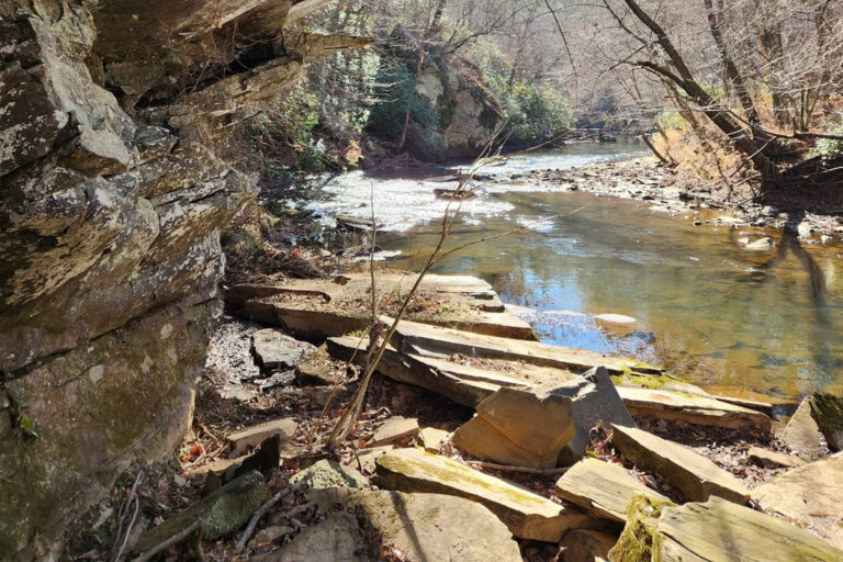
Flows past Ball Ground with endangered amber darters near its mouth.
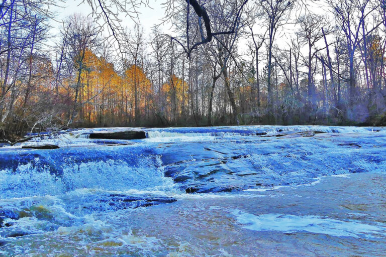
Named for a Cherokee leader; home to the Poole’s Mill covered bridge.
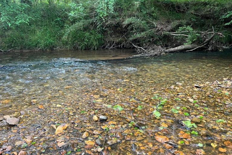
A protected stream beside McGraw Ford WMA.
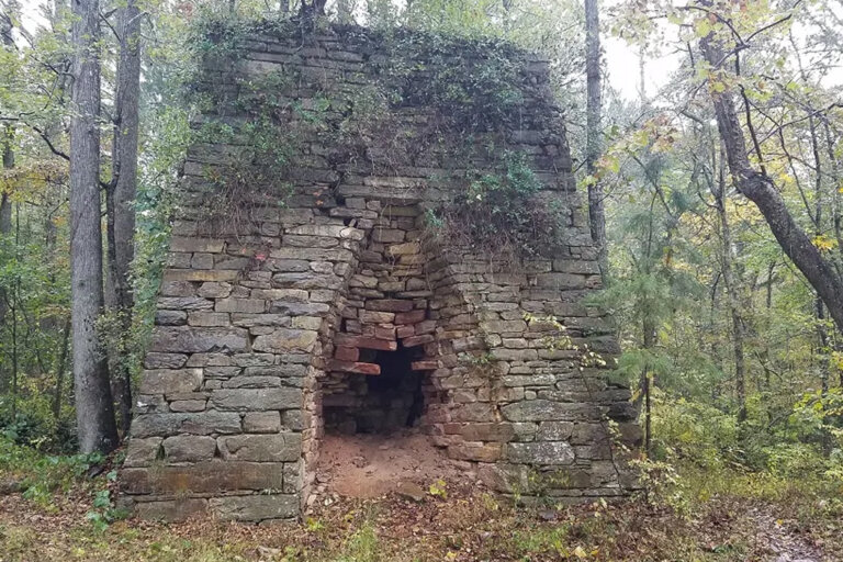
Flows from the Waleska area into Lake Allatoona. Home to the historic Donaldson’s Furnace.
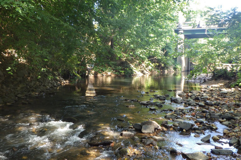
A small creek flowing through downtown Canton, GA. It features a new trash trap installed by UERA.
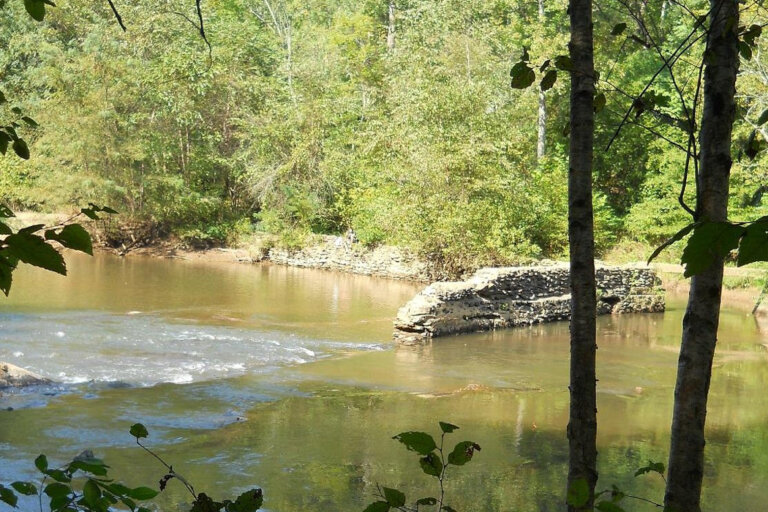
The largest stream feeding Lake Allatoona’s Little River arm
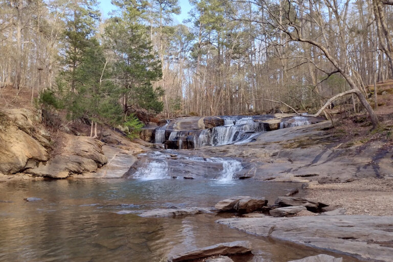
A short creek with a waterfall at its mouth. It flows in to Lake Allatoona.
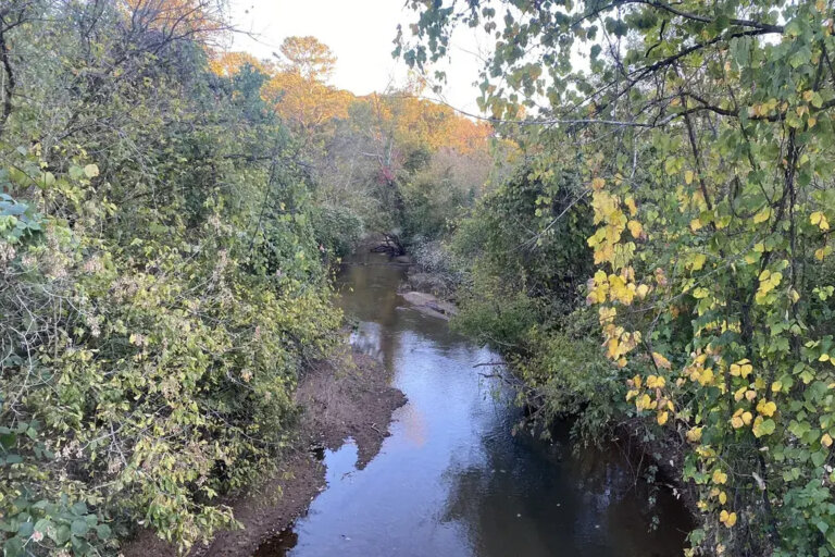
A 20-mile-long tributary of the Little River in Cherokee County.
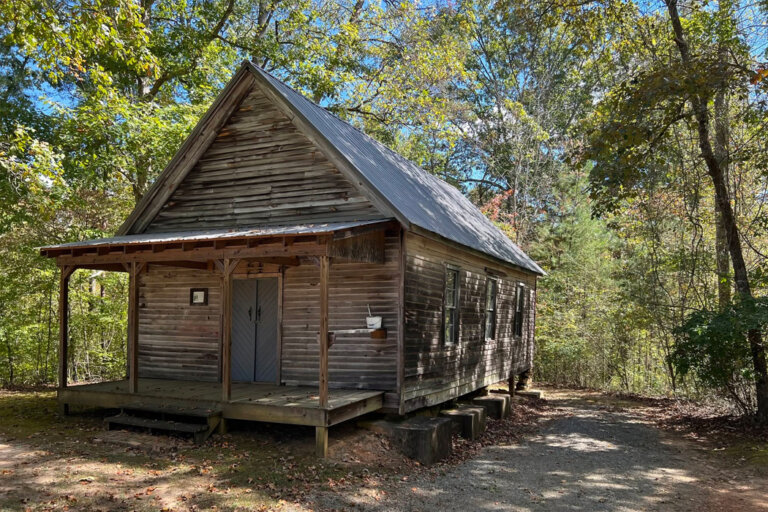
a small, protected creek in McGraw Ford Wildlife Management Area in Ball Ground, GA.
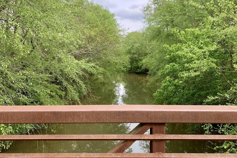
A creek flowing northwest through Cobb and Bartow counties that empties into the southwestern arm of Lake Allatoona.
Named after a historical watermill formerly located along its course.
Headwater streams and smaller creeks worth knowing