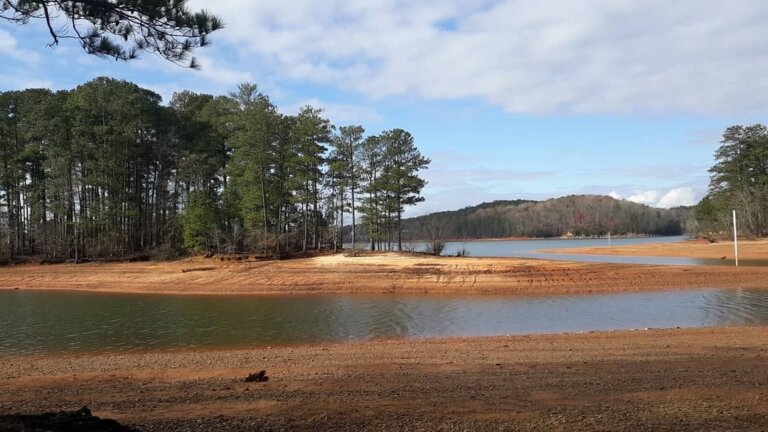
If you’ve been out to Lake Allatoona lately, you’ve probably noticed more red clay and less water. Don’t worry: nothing is wrong. Every fall and winter, the U.S. Army Corps of Engineers lowers the lake on purpose, and right now that drawdown is well underway.
At the time of writing (November 18, 2026), the lake stood at about 830.6 feet above sea level, according to the USGS gauge at Allatoona Dam. That’s more than 9 feet below its summer level, and it’s still dropping a little more than a foot a week.
How the Drawdown Works
The Corps manages Allatoona on a yearly schedule called a guide curve. According to the Corps’ Allatoona pertinent data sheet:
- Summer pool: 840 feet, from May 1 to early September
- Winter pool: 823 feet, reached by December 31 and held through mid-January
- Refill: the lake rises again through late winter and spring, as rain allows, to reach 840 feet by May
This year the lake started at about 839 feet on September 1 and has been stepping down steadily ever since.
Why Lower the Lake?
To make room for floods. Allatoona Dam was built first and foremost for flood control. Congress authorized it after floods along the Etowah, and Rome downstream was among the communities it was meant to protect. Winter and early spring bring our heaviest, most widespread rains, and dropping the lake 17 feet creates a giant empty bowl to catch them.
The numbers are big. The water between 823 and 840 feet is about 164,700 acre-feet, or roughly 54 billion gallons. With the lake at winter pool, the Corps has about 467,000 acre-feet of room to store floodwater, compared with about 303,000 acre-feet in summer. When a big storm hits, the dam can hold back the surge and let it out slowly, instead of sending it all down the river at once.
That water doesn’t disappear. As the lake drops, the Corps releases it through the dam, where it generates hydropower and continues down the Etowah toward Rome, where the Etowah meets the Oostanaula to form the Coosa.
A Smaller Lake for the Winter
At winter pool, Allatoona covers about 7,600 acres, down from about 11,860 in summer. That’s more than a third of the lake’s surface gone for the season. You’ll see it most in the shallow upper arms, including the Etowah River arm, where the Upper Etowah flows into the lake, and the Little River arm near Woodstock. Coves turn into mudflats, and the river channel narrows back toward something that looks like a river again.
Low water also brings history to the surface. In the drought of 1986, the lake dropped below winter pool and uncovered foundations of the old railroad town of Allatoona, flooded when the dam was built.
What It Means for You
- Boating and paddling: Some ramps and docks on the shallow ends of the lake can’t be used at low water, and stumps, sandbars, and old roadbeds that are usually well underwater sit right at the surface. Check the Corps’ Allatoona Lake page for ramp status before you go, slow down, and watch for hazards.
- Lakefront homeowners: The drawdown is a common time for shoreline and dock work. Allatoona’s shoreline is federal land, so check with the Corps’ Allatoona Lake office about permits before you start digging, building, or clearing.
- Walkers and explorers: The exposed lakebed can be soft, slick mud. Stick to firm ground, and leave artifacts where you find them. Collecting from Corps land is against federal rules.
What About the Upper Etowah?
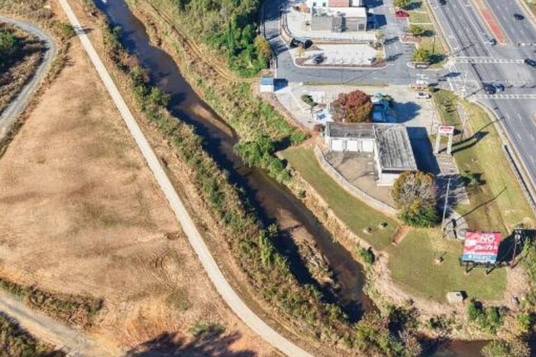
Lake Allatoona is where the Upper Etowah River ends. Every creek in our watershed, from the mountains above Dahlonega to Canton Creek, eventually flows into it. That’s why the drawdown is a good reminder of a less welcome sight: trash.
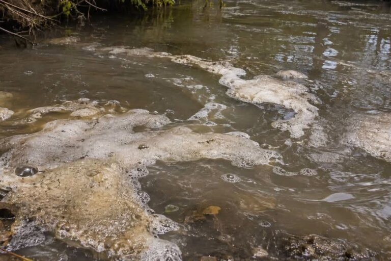
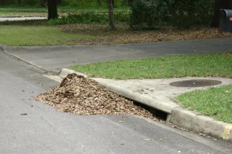
When the water drops, the shoreline shows what the river and its creeks carried downstream all year: bottles, cans, foam, tires, and plastic of every kind. Most of it started out on land, blowing into storm drains and ditches and washing into creeks with the next rain. That’s exactly why UERA works upstream, with cleanups and the trash trap in Canton Creek, to stop litter before it reaches the lake.
Sediment tells a similar story. Mud that washes off construction sites and eroding creek banks settles out where the river slows and meets the lake. Low water makes those growing mudflats in the Etowah arm easy to see. The same runoff carries phosphorus, which feeds the algae that keep the lake’s Etowah arm from meeting Georgia’s water quality standard for algae.
How You Can Help
- Stop trash at the source. Secure your trash and recycling bins, especially on windy pickup days, and pick up litter near storm drains.
- Keep soil on the land. Mulch or seed bare ground, protect the plants along creek banks, and report muddy water running off construction sites.
- Go easy on fertilizer. Test your soil before you fertilize, and never fertilize before a rain.
- Join a cleanup. UERA cleanups pull trash out of creeks and the river before it ever reaches the lake.
- Report problems. Spot a spill, a fish kill, or a muddy creek? Report it, or see who to call. For spills and fish kills, call the GA EPD 24-hour spill line at (800) 241-4113.
Want to learn more about the lake at the end of our river? Explore the waterways of the Upper Etowah. And to help keep trash and mud out of the lake, volunteer, become a member, or donate.
Sources
- U.S. Army Corps of Engineers, Mobile District, Allatoona Pertinent Data
- U.S. Geological Survey, Allatoona Lake near Cartersville, GA (02393500)
- Georgia EPD, Chlorophyll a TMDL for Lake Allatoona